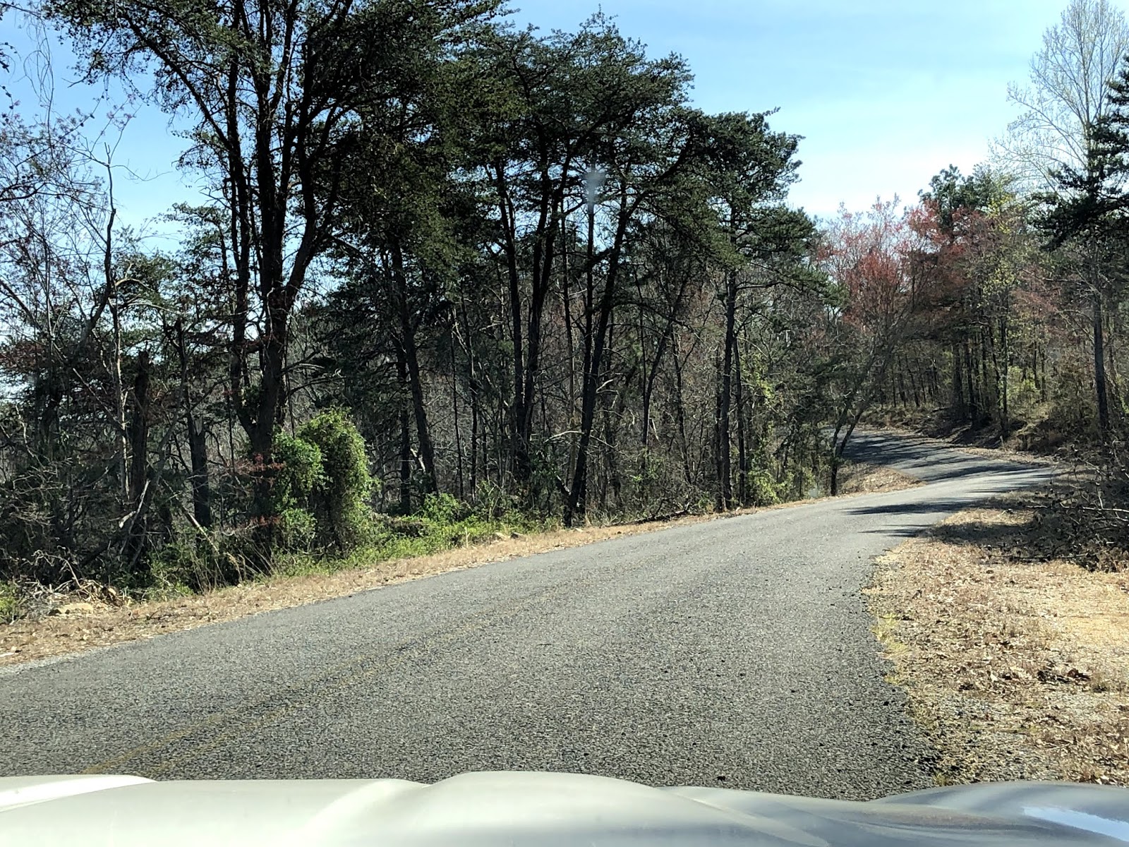
Here are a couple of views of our drive up Interstate 59 and then as we got off the interstate:


Once we reached DeSoto Falls, your first view is of the dam, which takes away a little of the beauty of the falls but it is still a beautiful view. This falls does not have any real hiking paths, just some stairs partway down to get a better view of the falls.


 |
| The lower part of DeSoto Falls |


 |
| The dam and upper part of DeSoto Falls |


After DeSoto Falls, we put the top down and cruised the back roads to Little River Canyon National Preserve. Our first stop in the park was Little River Falls. When we arrived we were greeted by a nice gentleman with maps of the whole park and suggestions on what to do. They have built a really nice boardwalk that takes you to the falls.


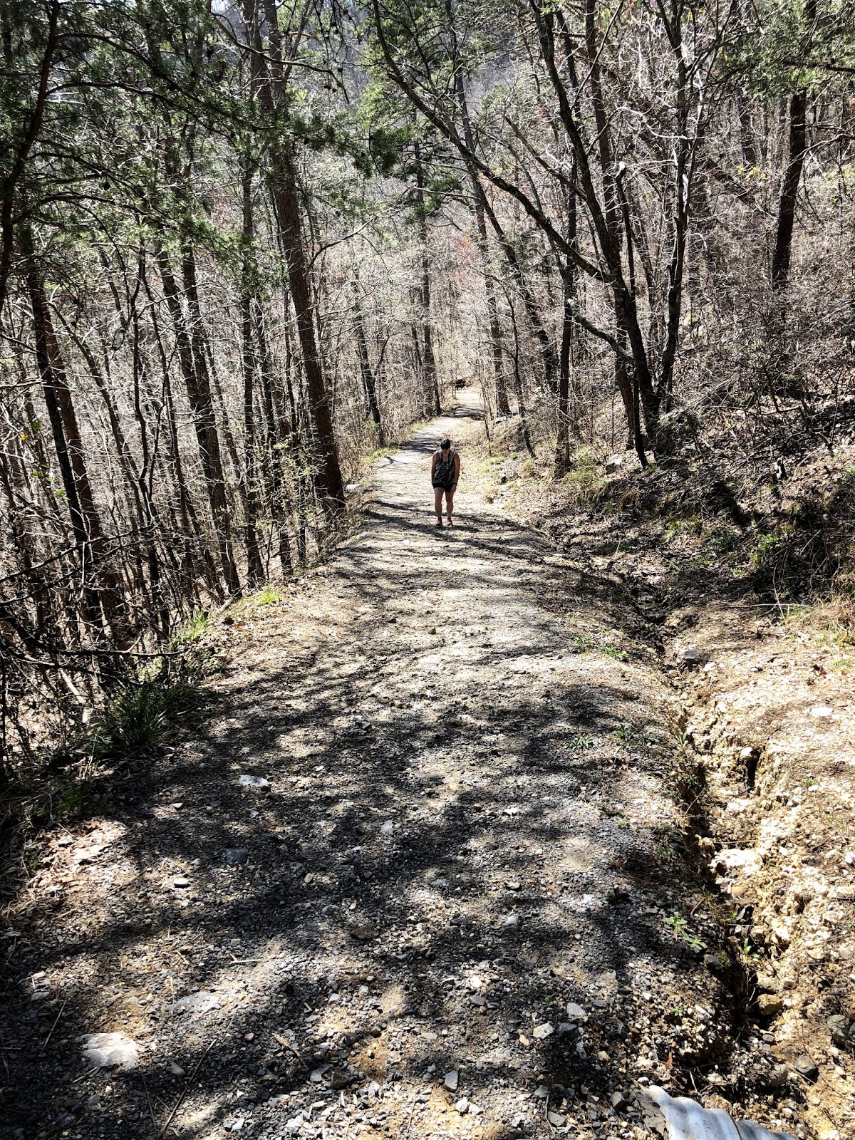
From the boardwalks at Little River Falls, there is a dirt hiking trail that leads southeast towards Martha's Falls. The trail (which is less than a mile one-way) follows the cliffs along the river, is quite rocky, but fairly flat (until the very end where you descend to the river level near Martha's Falls).


 |
| Water bubbling up from the ground created this stream |


After hiking a bit at Little River Falls and Martha's Falls, we started on the Canyon Rim Scenic Drive.


Our first overlook was Little River Falls Overlook where we got another great view of Little River Falls.

We passed by Mushroom Rock, in the middle of the road.

The next three overlooks we stopped at (Canyon View, Wolf Creek, and Crow Point) had amazing views of the canyon.


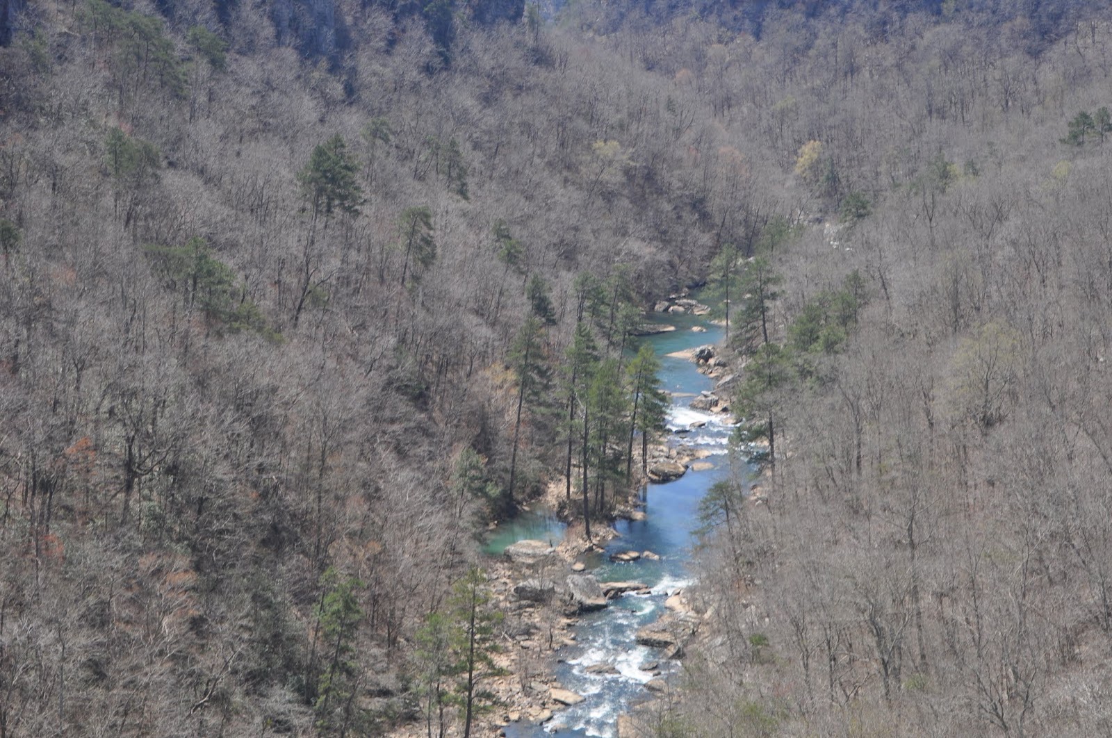


As we were driving to our next overlook, we just happened to notice Grace's High Falls which is a seasonal waterfall that is 133 feet high, the highest in Alabama, when it is running.

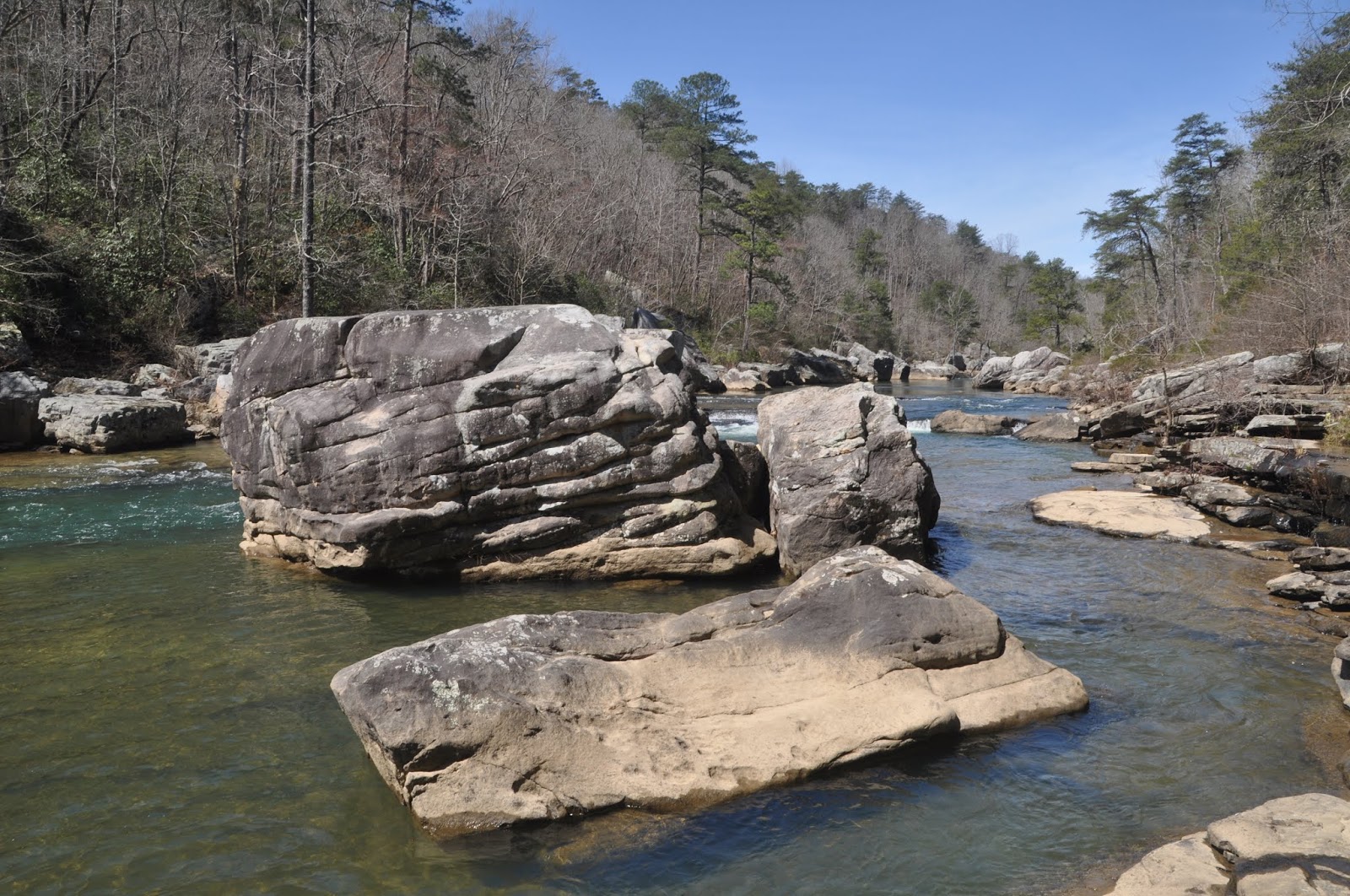
Our final stop was Eberhart trail which leaves from Eberhart Point. This trail is an extremely steep 3/4 mile incline that takes you to the bottom of the canyon. I'm not sure I want to do it again, until I get in better shape but it was well worth the view at the bottom. And since the trail is so challenging, it deters people from taking it so we were the only ones at the bottom (except for the butterflies, which were plentiful).


 |
| Can you find the lizard? |


By this point, we were quite hungry and tired so we headed to Jack's for a late lunch, headed home with a stop at a carwash in Trussville.