The forecast included a chance of rain showers and clouds, the type of day most people stay home. But with a new lens to try out, I wanted to capture fog in the mountains in the early morning light and so it was forecast to be the perfect day for just that. We set the alarm early with the goal to be in the canyon right around sunrise.
Many may be surprised to know that Alabama is home to its own canyon. The Appalachian mountains reach into the northern part of this state. Little River Canyon National Preserve is probably one of the most special places in Alabama that we have visited and a place we keep coming back to. This was our first visit during the fall. And although I went looking for fog and did find some, I was taken aback by the beauty of the fall colors. I was not expecting the colors to be this far along.
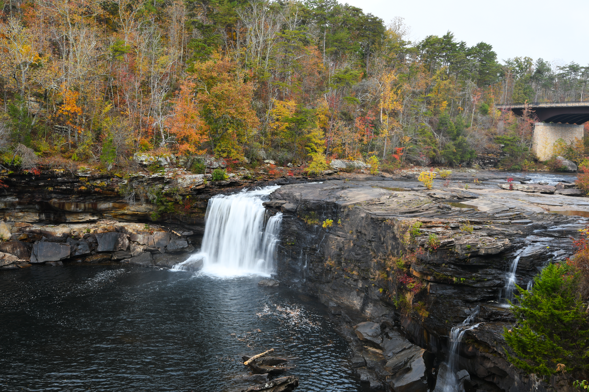
Our first stop was Little River Falls Overlook. Hwy 176 (Little River Canyon Rim Parkway) is an incredibly scenic drive along the top of the canyon with many overlooks to get some incredible views. Coming from the north, the Little River Falls Overlook is the first you will encounter and gives views of Little River Falls.
We then continued on to Lynn Overlook for more views of the canyon and to hopefully find some fog.
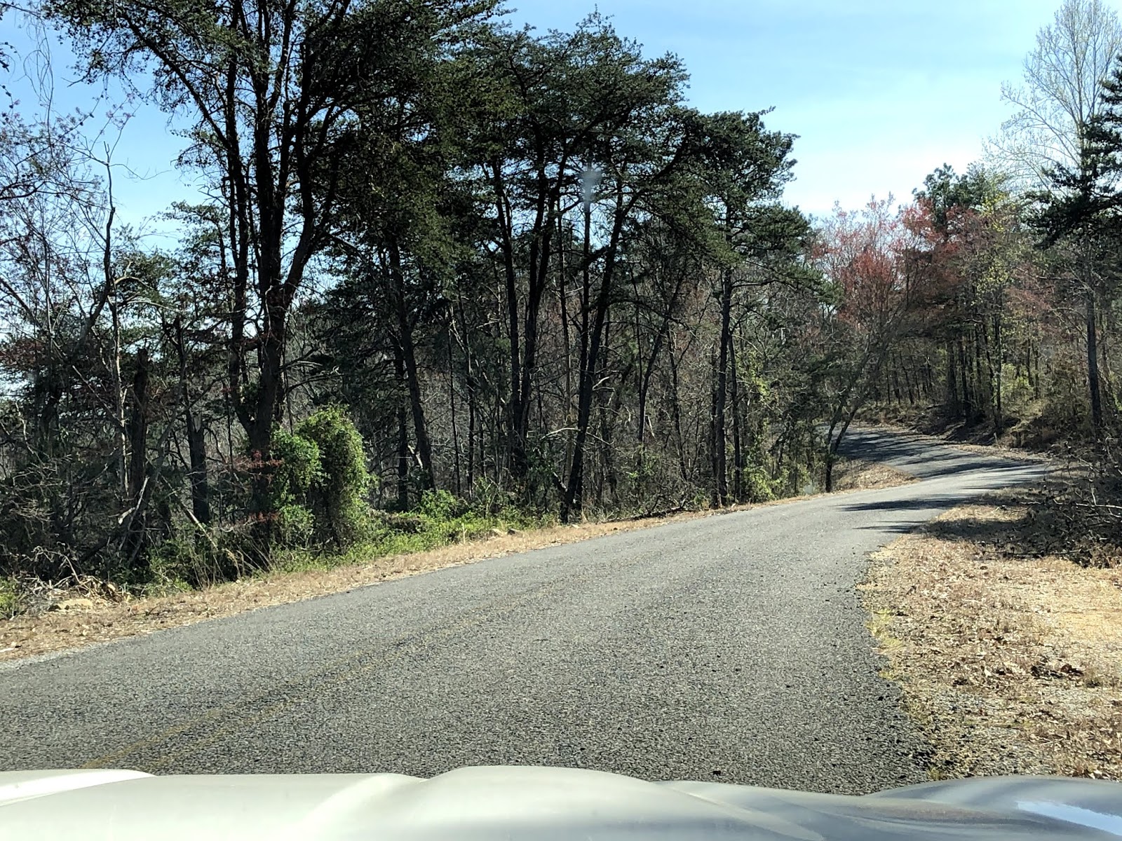
We continued south on Hwy 176 until we reached Mushroom Rock. We had yet to see any cars travel down this highway all morning so had ample chances to get just the right shots.
Normally we would have continued south to more overlooks and to enjoy more of the canyon but we had plans for another trail near Lake Guntersville and wanted to spend some time at Little River Falls itself before heading that way. So we backtracked to the Little River Falls parking area off Hwy 35.
We then headed towards Lake Guntersville to hike a 4.4 mile loop at Murphy Hill near Langston, AL. This was our second visit to this trail. Last time was during the heat and humidity of the summer and we had made quite a few other stops that day and so that time we didn't make the whole loop and turned around before we got half way done. This time the weather was in the upper 60s which makes a world of a difference when hiking. It is a very quiet trail, clearly a well kept secret because it is a great trail that is quite flat and really beautiful with forests, marshes, and even a few views of Lake Guntersville. In the two visits, we have only seen one other person hiking.
A great blue heron flying away
A juvenile red-headed woodpecker
The juvenile red-headed woodpecker again - you can see the red of his head just starting to come in.
I wish I had my macro lens to get a better photo of this spider.
Eastern Phoebe
This is where it started to sprinkle and so Paul was anxious to get back under the cover of trees.
We didn't let this down tree stop us from seeing the end of the peninsula with views of Lake Guntersville.
It's mushroom season in Alabama and these little ones were all over the forest floor.
Shortly after the mushrooms, the rain sprinkle became more of a steady rain and so the camera had to be put away. Fortunately the last 1.5 of the trail is not nearly as scenic so we didn't feel like we were missing much by picking up the pace. Even despite the rain, it was a hike that was well worth it and overall an amazing morning but it was time to head home.
What a beautiful day! Although it started a little cool in the morning, I think we saw a high of 76*F! The sun was shining. The humidity was low. It was the perfect day to get out and do a little hiking and enjoy our convertible. So we headed up past Gadsten and started at DeSoto Falls in Mentone, AL.
Here are a couple of views of our drive up Interstate 59 and then as we got off the interstate:
Once we reached DeSoto Falls, your first view is of the dam, which takes away a little of the beauty of the falls but it is still a beautiful view. This falls does not have any real hiking paths, just some stairs partway down to get a better view of the falls.
The lower part of DeSoto Falls
The dam and upper part of DeSoto Falls
After DeSoto Falls, we put the top down and cruised the back roads to Little River Canyon National Preserve. Our first stop in the park was Little River Falls. When we arrived we were greeted by a nice gentleman with maps of the whole park and suggestions on what to do. They have built a really nice boardwalk that takes you to the falls.
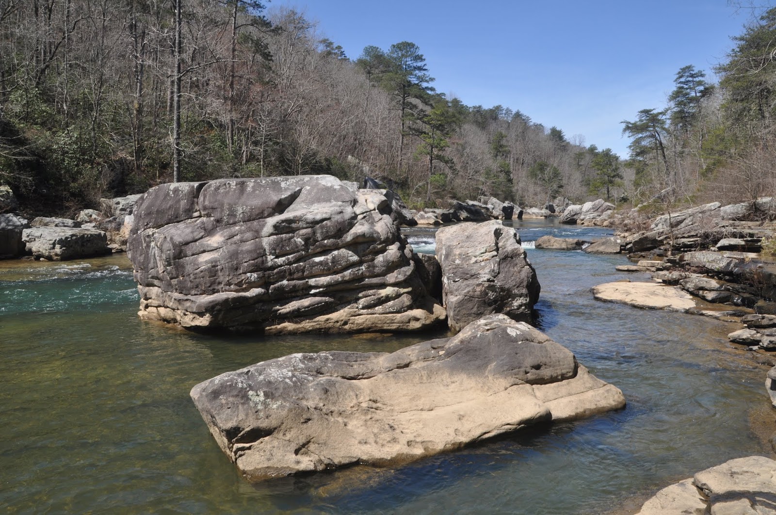
From the boardwalks at Little River Falls, there is a dirt hiking trail that leads southeast towards Martha's Falls. The trail (which is less than a mile one-way) follows the cliffs along the river, is quite rocky, but fairly flat (until the very end where you descend to the river level near Martha's Falls).
Water bubbling up from the ground created this stream
When we got to the bottom of the steps in the photo above, my husband's response was, "This is it!" He wasn't impressed. But I thought it was a neat view and there were quite a few people down there hanging out.
After hiking a bit at Little River Falls and Martha's Falls, we started on the Canyon Rim Scenic Drive.
Our first overlook was Little River Falls Overlook where we got another great view of Little River Falls.
We passed by Mushroom Rock, in the middle of the road.
The next three overlooks we stopped at (Canyon View, Wolf Creek, and Crow Point) had amazing views of the canyon.
As we were driving to our next overlook, we just happened to notice Grace's High Falls which is a seasonal waterfall that is 133 feet high, the highest in Alabama, when it is running.
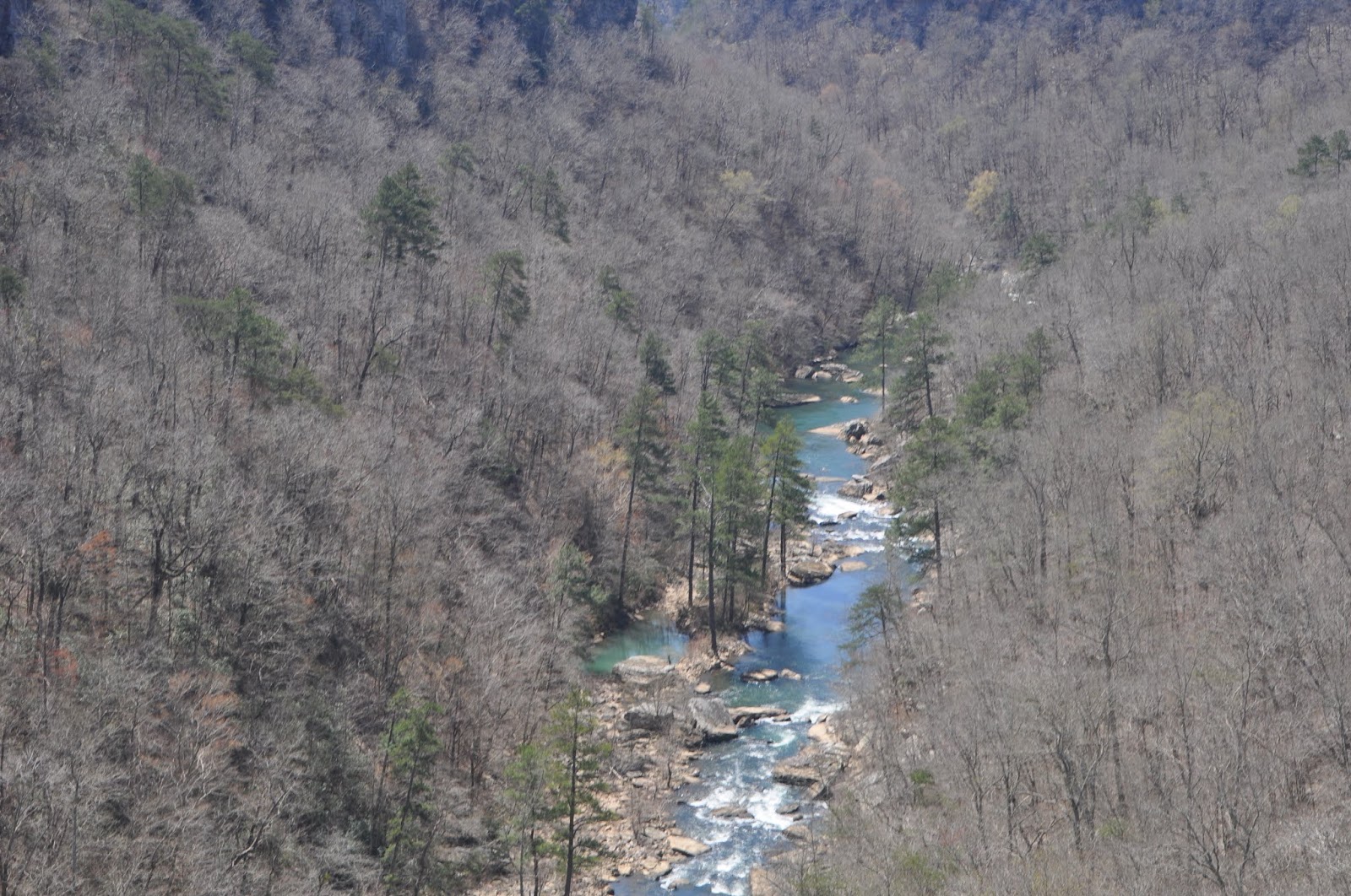
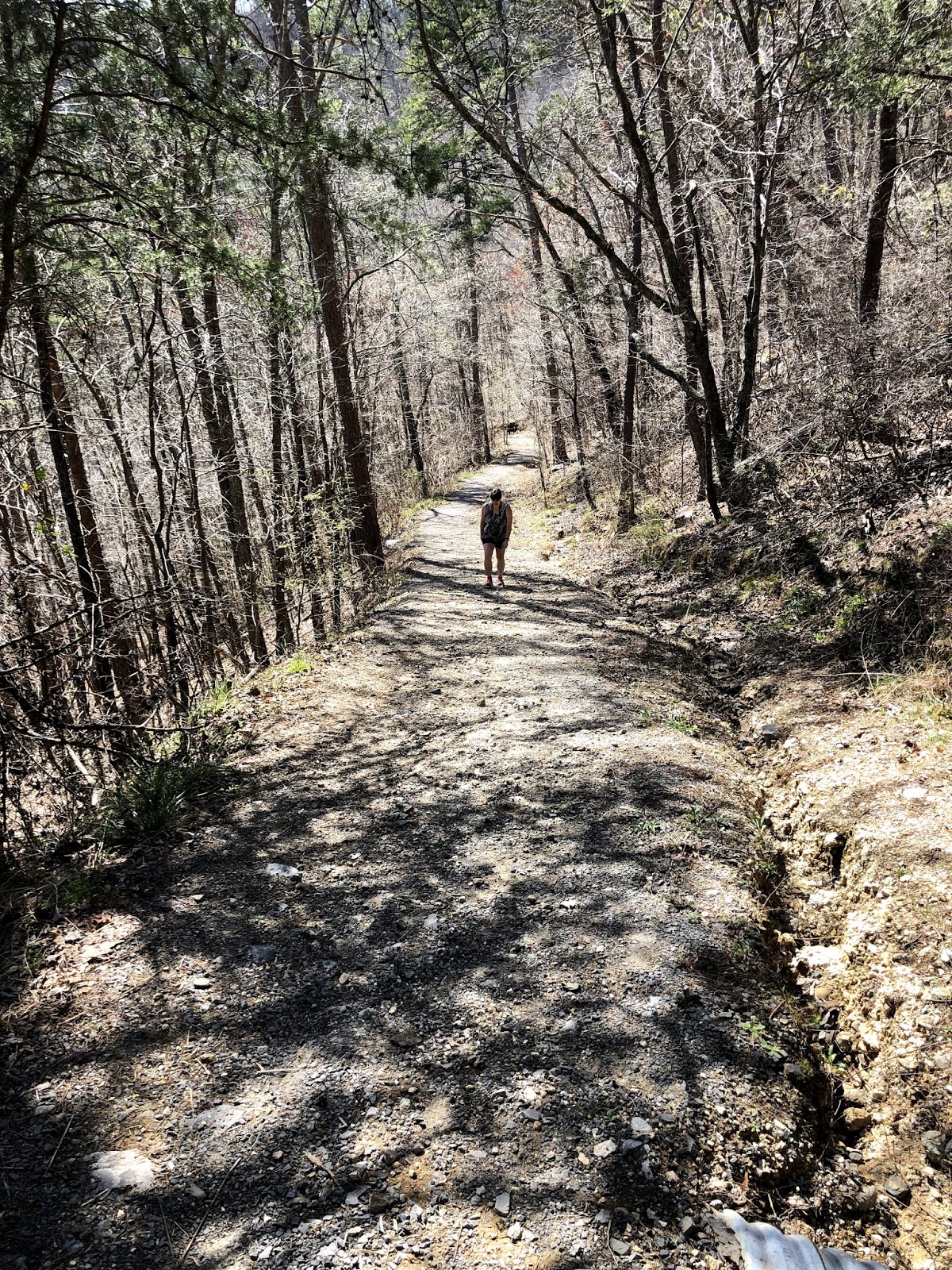
Our final stop was Eberhart trail which leaves from Eberhart Point. This trail is an extremely steep 3/4 mile incline that takes you to the bottom of the canyon. I'm not sure I want to do it again, until I get in better shape but it was well worth the view at the bottom. And since the trail is so challenging, it deters people from taking it so we were the only ones at the bottom (except for the butterflies, which were plentiful).
Can you find the lizard?
After Eberhart Point, the following sign is posted on the Canyon Rim Drive warning motorcyles, trucks, trailers, and RVs away from the drive. Needless to say, my husband loved the drive in our 6-speed Fiat Spider.
By this point, we were quite hungry and tired so we headed to Jack's for a late lunch, headed home with a stop at a carwash in Trussville.